
Helping AI Understand the Real World
Geospatial strategy and produce guidance for companies building location-aware intelligence.
AI is advancing rapidly, but when products intersect with the physical world, complexity increases fast. We help teams build solutions that work not just in theory, but in real environments.
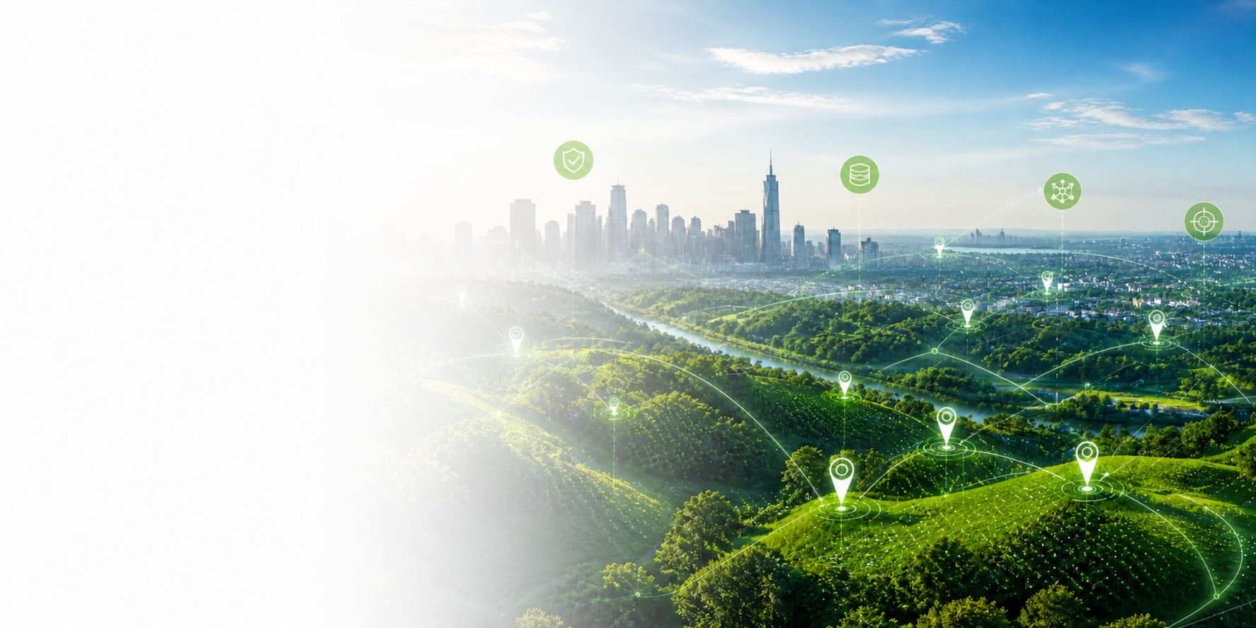
Where AI Meets the Physical World
The next wave of AI will depend on understanding the real world:
• Where things are
• How they relate
• How they change over
time
• How people interact with
them in the field
But geospatial isn't just another dataset. It comes with structure, scale, constraints, and operational reality.
That’s where many AI efforts struggle—and where I help
Where AI Meets the Physical World
Clarity Where It Matters Most
We work at the intersection of AI and geospatial system to help teams:
• Build products that use
spatial data correctly
• Design workflows
grounded in real-world
operations
• Avoid costly assumptions
about how location data
works
• Identify high-value use
cases that deliver real ROI
This is not theoretical advice
It’s based on decades of experience designing and implementing geospatial system in production environments.
How We Help





Geospatial Product Advisory
Design AI products that rely on location, maps, and spatial reasoning.
AI + Geospatial Strategy
Define how geospatial fits into your product, roadmap, and market position.
Spatial Data & Workflow Review
Evaluate whether your system handles spatial data, scale, and workflows correctly.
Use Case Development
Identify high-impact opportunities across utilities, environmental, infrastructure, and field operations.
Executive & Investor Advisory
Assess geospatial AI opportunities, risks, and technical feasibility
Beyond the Map
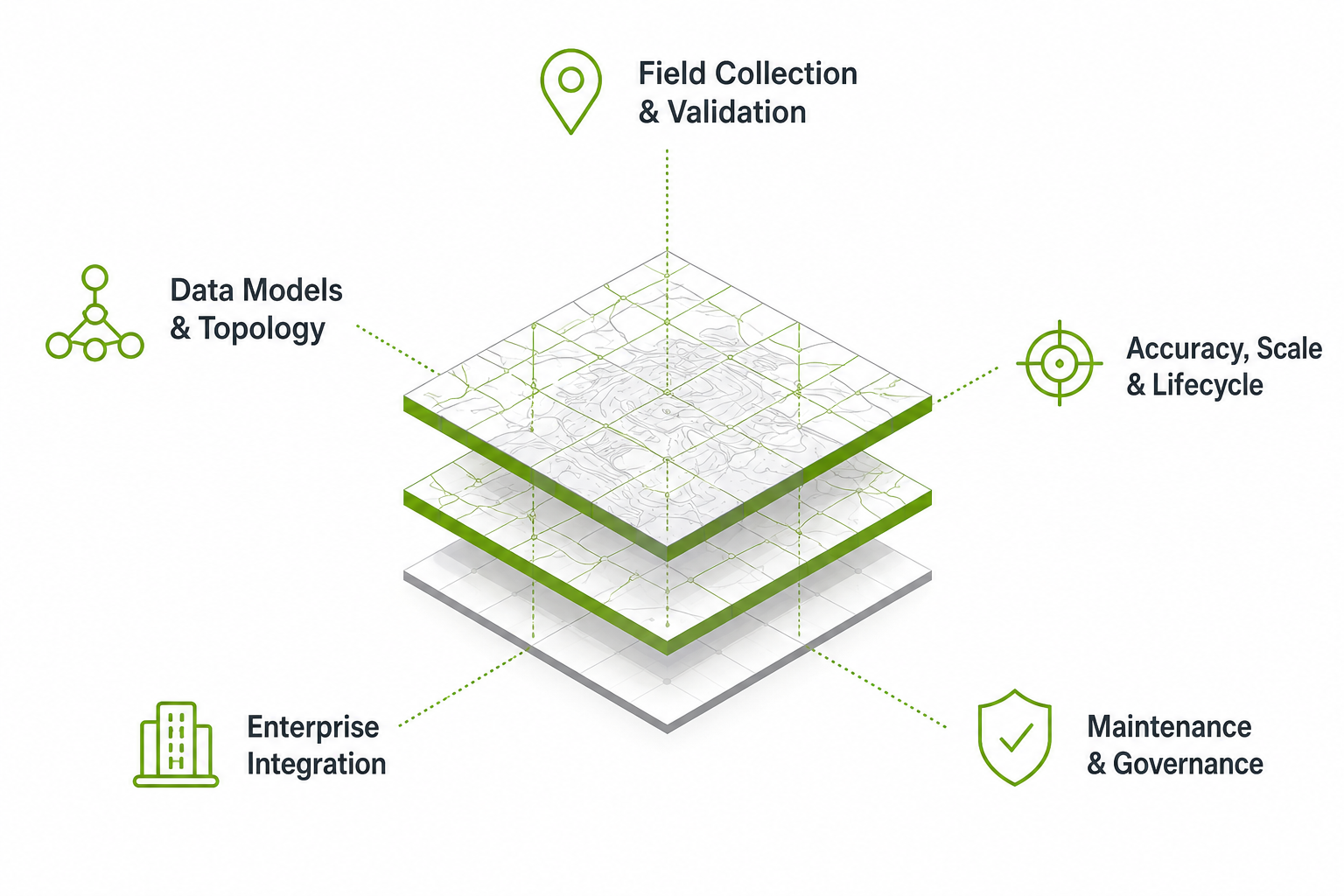
Real-world geospatial systems involve far more than visualization:
• Data models, relationships, and topology
• Field data collection and validation
• Accuracy, scale and lifecycle management
• Integration with enterprise systems
• Long-term data maintenance and governance
Understanding these elements is the difference between a compelling demo—and a system that actually works.
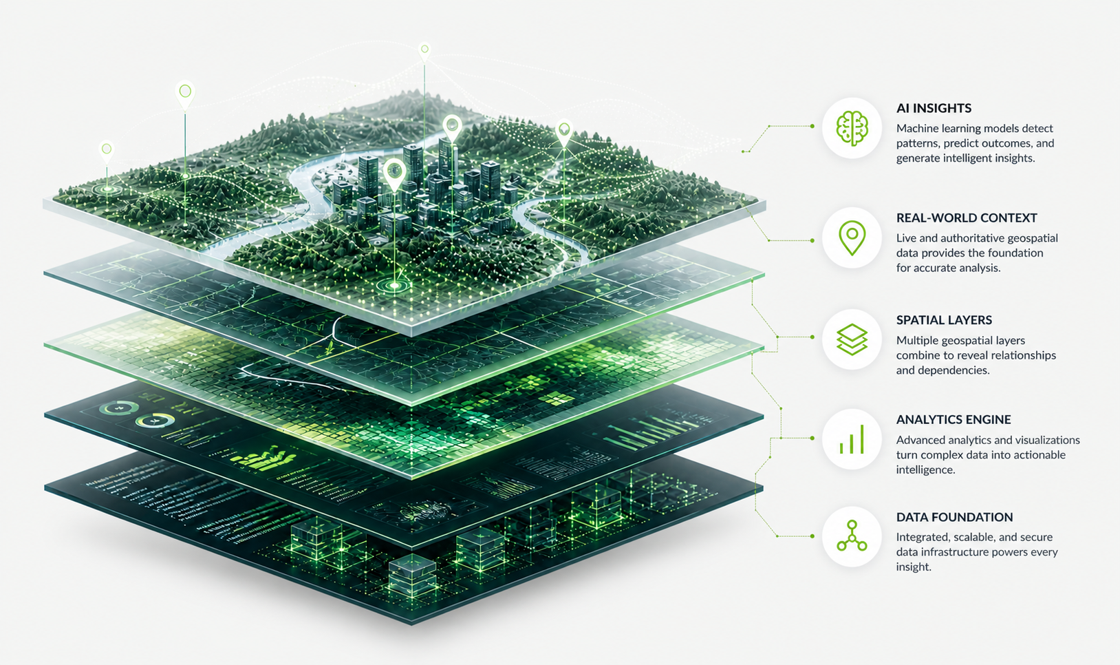
Experience That Translates to Results
• Nearly 40 years in geospatial and remote sensing
• Former National GIS Lead overseeing large teams and
programs
• Led enterprise GIS strategy, cloud implementations, and
system modernization
• Deep experience across utilities, environmental consulting,
infrastructure, and field operations
We don’t just understand geospatial—
We understand how it works in production.
Insights on AI and the Real World
I share perspectives on where AI is succeeding—and where it need to go further—when working with spatial data and real-world systems.

Why Spatial Intelligence Is the Next Frontier for AI
The Gap Between Mapping and Decision-Making
The Hidden Complexity of Field Data Workflows

Where Geospatial AI Creates Real Value (and Where It Doesn’t)